
Since the National Park Service is celebrating the Bicentennial of the Battle of New Orleans this holiday season, we decided to feature some early surveys of the site. These are photostat copies of the original surveys that were collected by Guy Seghers, whose office records are retained by the Southeastern Architectural Archive and the Historic New Orleans Collection.
Barthélemy Lafon (1769-1820) developed the survey shown above while employed as deputy surveyor under Isaac Briggs (1763-1825). Thomas Jefferson had appointed Briggs "Surveyor of the Lands of the United States, South of the State of Tennessee" in 1803 and one year later Briggs was assigned to develop a post road from Washington to New Orleans. Lafon's survey records the plantation properties of J.M. Pritchard, Mssrs. Prevôt and Chalmette. Signed 13 February 1808, "la 32eme anné de l'Indépendence des Etats-Unis de l'Amérique," the document primarily records Prevôt's landholdings from the Mississippi River to a grove of trees. A drainage canal separates the plantations of Pritchard and Prevôt.
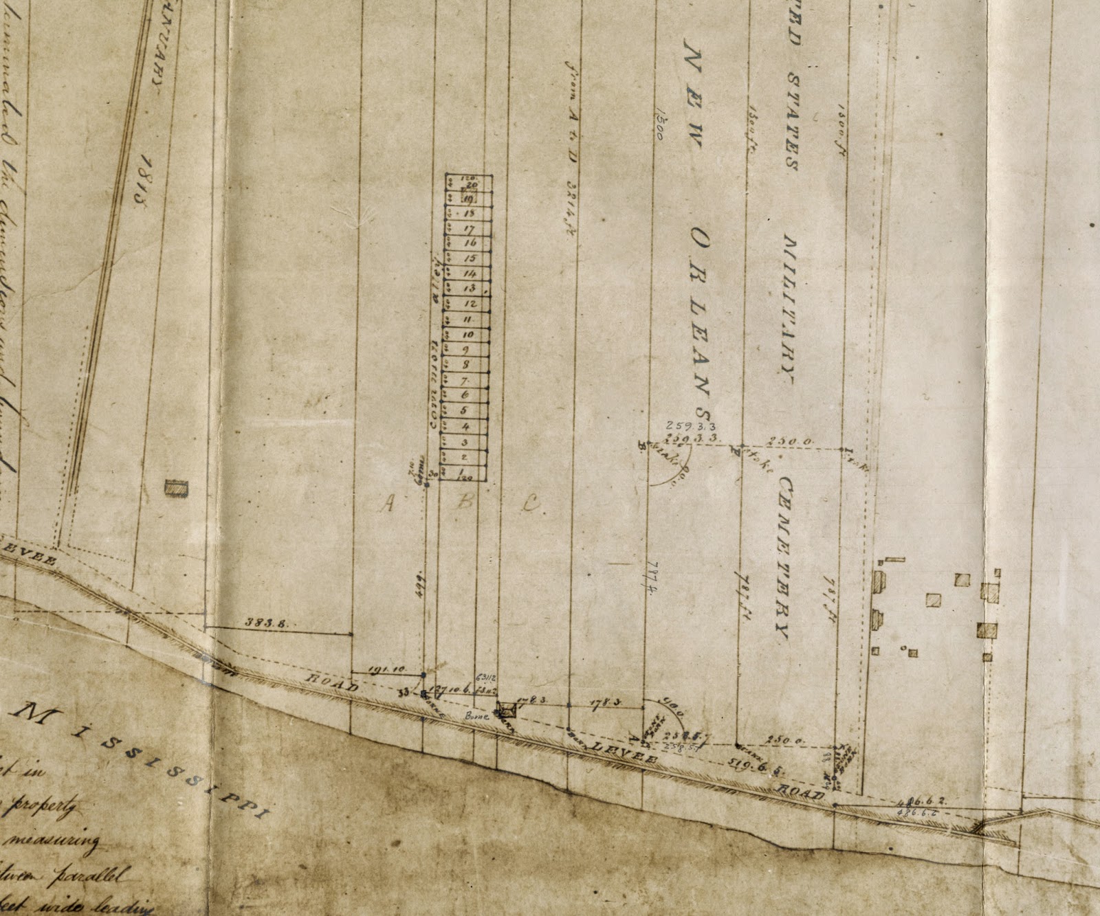
Images above: Photostat copies of surveys. Folder 4, Box 109. "Battle of New Orleans Site, St. Bernard Parish." Guy Seghers Office Records, Southeastern Architectural Archive, Special Collections Division, Tulane University Libraries.
No comments:
Post a Comment